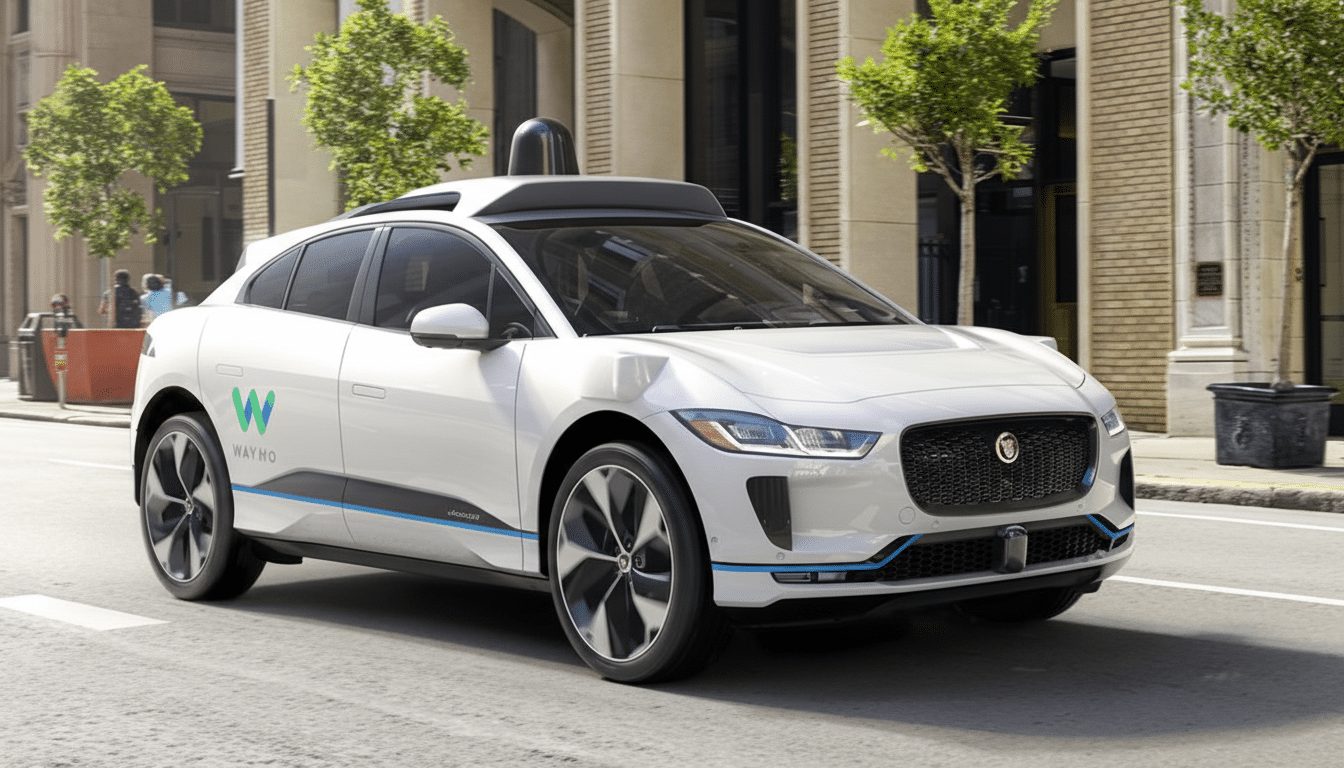
Waymo is rolling its autonomous vehicle program into Chicago and Charlotte, kicking off manual mapping and early data collection as the first step toward future robotaxi service. The Alphabet-owned company typically spends months learning a city’s roads with human operators before introducing supervised autonomy and, eventually, rider-only service. Adding these two very different urban environments signals a strategic bet that its system can scale across varied road networks and weather conditions.
The move comes alongside a broader push to expand Waymo’s commercial footprint, with the company recently lighting up operations in several new markets and disclosing a fresh $16 billion funding package aimed at accelerating international growth. Chicago and Charlotte deepen the U.S. pipeline while stress-testing the technology in both dense urban cores and fast-growing Sun Belt suburbs.
Why Chicago and Charlotte Matter for Waymo’s Plans
Chicago presents one of the most complex proving grounds in the country: a dense downtown, multilane expressways, extensive construction seasons, and a web of movable river bridges. If Waymo can operate reliably amid that mix, it strengthens the case that its automated driving system is adaptable well beyond the temperate, Sun Belt domains where robotaxis first took off.
Charlotte, by contrast, offers a modern, suburban-style street grid with broad arterials, rapid population growth, and sustained demand for airport, stadium, and business-district trips. It’s a representative market for the next wave of AV deployment: fewer legacy constraints than older Northeast cities, but enough congestion and event-driven surges to pressure-test fleet operations and rider experience.
Together, the two metros cover a wide spectrum of operating design domains—busy downtowns and neighborhoods, freight-heavy corridors, and high-speed interchanges—giving Waymo the chance to refine routing, perception, and prediction across contrasting traffic cultures.
What Early Testing Looks Like in These Two Cities
Initial activity will include extensively driving the cities with trained operators to build and validate high-definition maps that capture lane-level geometry, curb heights, traffic signal locations, speed limits, turn restrictions, and other semantics that matter to an autonomous stack. Waymo layers this prior knowledge with real-time sensing from lidar, radar, and cameras so the vehicle can localize precisely and respond to dynamic actors.
Before any rider-only service appears, Waymo typically runs closed-course evaluations, shadow-mode comparisons against human drivers, and supervised autonomy on public roads. The company also uses simulation to replay rare “edge cases” identified during mapping—think non-standard work zones or unusual pedestrian flows—and stress-test proposed software updates at scale before pushing them to the fleet.
Weather and Urban Complexity in Chicago and Charlotte
Chicago’s winters bring an adversarial mix for sensors and software: lake-effect snow that obscures lane markings, salt spray and grime that can attenuate cameras, and ice that changes vehicle dynamics. The city’s steel-grate and bascule bridges can introduce vibrations and surface patterns that challenge perception, while shadows cast by elevated rail lines complicate exposure and object detection.
These aren’t fringe scenarios—they’re daily realities drivers face for months. According to U.S. roadway safety research frequently cited by federal agencies, adverse weather plays a role in about 21% of vehicle crashes nationwide, underscoring why mastering low-visibility and low-traction conditions is central to any claim of national scalability. By contrast, Charlotte should allow faster progression through routine suburban scenarios while still surfacing complexity around event traffic, school zones, and fast-changing development corridors.
Competitive and Regulatory Context for AV Expansion
Waymo is expanding as the autonomous vehicle sector recalibrates following high-profile setbacks elsewhere. Regulators have tightened oversight, with the National Highway Traffic Safety Administration requiring incident reporting for advanced driver-assistance and automated driving systems under its standing general order. City and state transportation departments increasingly expect granular operations plans, geofenced service areas, and 24/7 points of contact before greenlighting broader pilots.
Against that backdrop, Waymo’s measured, map-first approach is designed to show repeatable progress. The company recently began commercial driverless operations in several new Sun Belt markets, bringing its U.S. city count to double digits. In parallel, it is testing and planning launches in additional hubs, including Denver, Washington, D.C., and London, signaling confidence that the stack can adapt to higher altitudes, different signage standards, and international road rules.
What Comes Next for Waymo in Chicago and Charlotte
Expect a phased cadence in both Chicago and Charlotte: months of mapping and supervised driving, then limited-time windows and geofenced routes for early rider programs, followed by gradual expansion as performance data meets internal and regulatory thresholds. City selection also hints at likely first corridors—airport connectors, major employment centers, and mixed-use districts where demand density supports sustainable utilization.
For observers, the key metrics won’t be marketing milestones but operational ones: consistency across seasons, how quickly the service area grows, rider wait times, and the frequency of remote assistance. If Waymo can demonstrate reliable, rider-only service through a Chicago winter while scaling accessible trips in Charlotte’s sprawling suburbs, it will mark a meaningful step toward a truly multi-regional robotaxi network.