As a powerful winter storm snarls travel across multiple regions, transportation agencies are pushing real-time road condition maps online. If you have to drive, knowing exactly where closures, ice, and chain controls are active is the difference between a slow trip and a stranded one.
Start With Official 511 And State DOT Maps
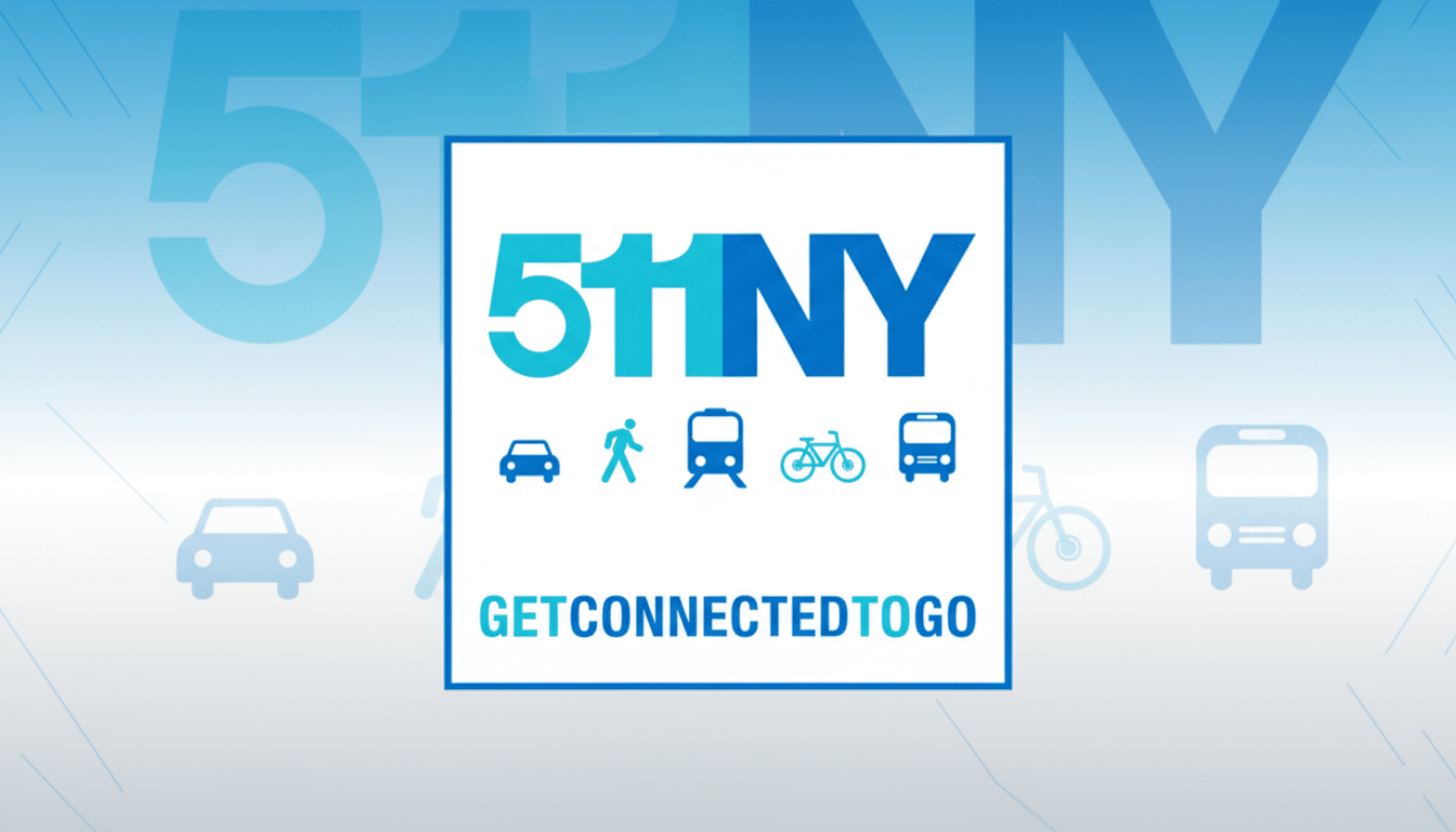
The fastest trustworthy snapshot comes from your state’s 511 traveler information portal, linked centrally by the Federal Highway Administration. These sites host interactive maps with live incidents, snowplow locations, highway cameras, and traction restrictions. Think of them as the control room for your state’s roads.
- Start With Official 511 And State DOT Maps
- Read the Winter Road Condition Maps Like a Pro
- Add National Weather Context to Your Route Plan
- Use Trusted Apps As Backups Not Replacements
- Set Up Targeted Travel Alerts Before You Leave
- Match the Map Checks to Your Planned Trip Type
- If Roads Are Closed, Stay Put and Recheck Later

Names vary—511NY, 511PA, COtrip in Colorado, WSDOT in Washington—but the tools are similar. You can toggle layers for road closures, reduced speeds, and weather sensors. In mountain states, look for pass reports and chain laws; for example, I-70 in Colorado frequently posts traction rules for commercial vehicles during active snowfall.
Crossing multiple states? Use each state’s 511 along your route. The Eastern Transportation Coalition also coordinates traveler information across corridors like I-95, helping stitch together what’s happening from one DOT to the next.
Read the Winter Road Condition Maps Like a Pro
Check the timestamp. Most layers display update times; anything older than 30–60 minutes in fast-changing conditions deserves extra caution. Color-coded traffic speeds (green, yellow, red) show slowdowns but don’t always reveal ice—pair them with cameras and weather sensors.
Turn on RWIS sensors if available. These roadside units report pavement temperature and precipitation type. A road can look clear on camera yet still be slick: if pavement temps hover below freezing, flash-freeze patches are possible even after plows pass.
Know the icons. “Closed” means barricades are up—don’t attempt detours on unmaintained roads. “Chain/traction law” can apply only to certain vehicle types or axle counts; the details are usually in the pop-up text on the map.
Add National Weather Context to Your Route Plan
Overlay your route planning with meteorology. The National Weather Service issues winter storm warnings and updates the Winter Storm Severity Index, which gauges likely travel impacts by county. NOAA’s snowfall analysis and radar loops help you see where bands are intensifying or tapering off.
The safety stakes are real. FHWA data show about 21% of U.S. crashes are weather-related each year, with roughly 1,300 deaths and more than 116,000 injuries on snowy, slushy, or icy pavement. That risk rises sharply during the first hours of a storm when drivers misjudge traction.
Use Trusted Apps As Backups Not Replacements
Navigation apps like Google Maps, Apple Maps, and Waze are helpful for reroutes and crowd-sourced hazards, and many ingest data from DOT feeds. But official 511 maps remain the source of record for closures, chain controls, and plow operations. If the two disagree, default to the DOT.
For extra clarity, switch on each app’s traffic, weather, and satellite layers. Zoom into highway cameras from your state’s portal to verify what the lane lines and shoulders actually look like.
Set Up Targeted Travel Alerts Before You Leave
Most 511 systems offer customizable alerts by corridor or county via text, email, or app notifications. Subscribe to your specific interstate, pass, or turnpike segment. If your state provides “trip planner” tools, plug in your route to receive push updates when conditions change mid-journey.
Transit agencies and turnpike authorities often mirror these alerts, posting speed reductions, gate closures at mountain passes, and tow restrictions during whiteouts. Align notifications across the services you’ll actually use.
Match the Map Checks to Your Planned Trip Type
For short city trips, look for local plow trackers or street-priority maps published by municipalities, plus live camera feeds around bridges and hills that ice first. School districts and transit lines may also post status changes that affect traffic flow.
For interstate travel, scan the entire corridor. Verify rest area availability, observe commercial vehicle restrictions, and note where snowfall rates spike. A 15-mile stretch with frequent spinouts can unravel an ETA more than a closed ramp 100 miles away.
If Roads Are Closed, Stay Put and Recheck Later
Do not go around barricades. State police and DOTs close segments for a reason—often to prevent secondary crashes while plows and tow operators work. If conditions deteriorate, the safest move is delaying departure and rechecking the maps in an hour.
Bottom line: open the official 511 map first, layer in NWS guidance, and verify with cameras and sensors. Spend five minutes planning and you’ll likely save an hour—or more—on the road.