Extreme weather often shreds the best-laid network blueprints, taking out power and towers as well as flooding backhaul routes just at the time that people are most apt to want to call for help. AT&T is deploying an A.I. system it calls Geo Modeler to make sure signals continue flowing during those times, using predictive models to predict when the wireless grid might feel stress and take action before the coverage blinks out.
The company says Geo Modeler will work in tandem with its automation platform to identify new issues and either recommend or undertake automated responses—such as retuning antennas, balancing power or shifting spectrum on a temporary basis—to maintain connectivity for the public and first responders. Early field use has already led to preemptive adjustments during severe weather, AT&T executives said in interviews — less disruption as crews were mobilized.
- How the AI-powered Geo Modeler Operates in the Field
- How Geo Modeler Makes Real-Time Decisions During Disasters
- How FirstNet Integration Amplifies Public Safety Impact
- Why AI-driven network resilience is urgently needed now
- Checks, Transparency and Human Oversight
- What to watch next as Geo Modeler scales nationwide
How the AI-powered Geo Modeler Operates in the Field
Geo Modeler generates a high-fidelity “digital twin” of the radio environment via ray tracing, a familiar technique from 3D computer graphics that models how signals reflect, diffract and get absorbed across complex terrain and cityscapes. By combining geospatial data — terrain, building footprints, foliage, various classes of clutter from objects and congestion to conductive materials — with live network telemetry, the system models coverage at street level and predicts where performance will degrade as conditions change.
Those simulations are sent to self-optimizing network engines that operate closer to the 3GPP spirit: antenna tilt / azimuth configuration, carrier re-allocation, traffic load balancing between different sectors and priority rules for public-safety traffic. The model also consumes operational signals like power outages and backhaul health, AT&T says, providing it with situational awareness well beyond raw radio frequency metrics.
In simpler language, the AI predicts where gaps will form and offers up its least disruptive fixes first — software that moves more quickly than sending hardware around — then guides field workers to where portable assets would make the biggest impact.
How Geo Modeler Makes Real-Time Decisions During Disasters
In fast-moving crises, the first wins are minutes saved. Geo Modeler shortens the time from when an outage is detected to when corrective action is taken, by automating triage: it flags the likely cause (e.g., a sector’s backhaul loss vs. RF interference), simulates candidate fixes, and then enacts the best plan with guardrails. That could involve, for example, adjusting an antenna’s “electrical tilt” to extend coverage over a flooded neighborhood or rerouting traffic to a nearby site that has cleaner spectrum.
Where software is not enough, the model assists logistics: It ranks locations for Cells on Wheels and Cells on Light Trucks, and establishes where microwave links or satellite backhaul will close critical gaps. In some cases, AT&T has employed the system to recommend which dead zones drones should be deployed to overfly and provide temporary airborne coverage, sending pilots towards areas that need a lift.
How FirstNet Integration Amplifies Public Safety Impact
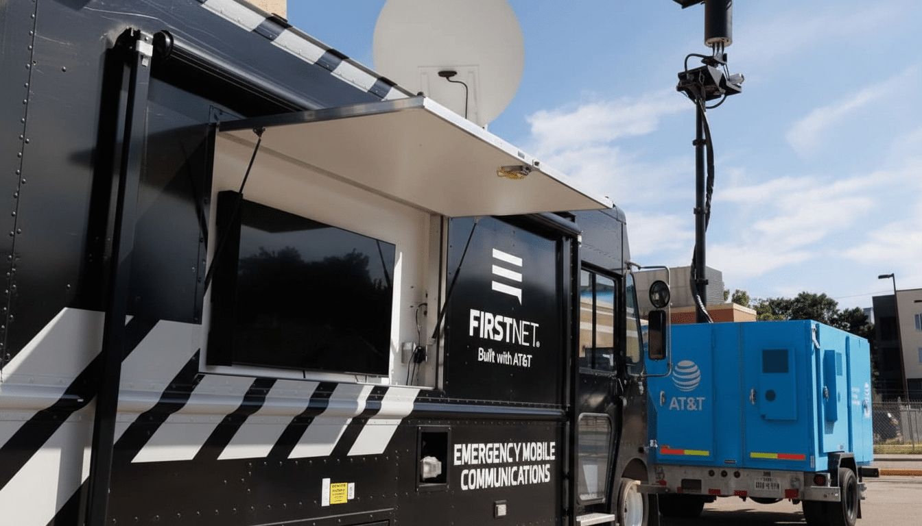
AT&T, one of the largest wireless carriers in the country, operates FirstNet, a dedicated wireless network for first responders developed in collaboration with the First Responder Network Authority. Whether you’re on the road or at home, with millions of connections across tens of thousands of agencies, small improvements in call completions and data sessions translate into thousands more successful calls and data sessions when it counts most.
Geo Modeler uses priority-aware automation to protect mission-critical traffic under load. That can mean firmer push-to-talk for fire and EMS teams coordinating rescues, improved uplink for body-worn video cameras, and more reliable telemetry from sensors or drones. The company says the system has already been used to aid Network Disaster Recovery operations, by suggesting which sites should be staged with mobile assets and how best to tune local spectrum for maximum reach.
Why AI-driven network resilience is urgently needed now
The need is obvious. NOAA has reported a record rate of billion-dollar weather disasters, and the FCC’s Disaster Information Reporting System has often counted thousands of cell sites knocked offline by major hurricanes, wildfires and ice storms. In the meantime, public safety agencies receive hundreds of millions of 911-related calls every year and place such calls. Networks need to adjust in hours or even minutes, not days.
Static propagation maps and manual retuning are relied upon in the traditional engineering playbooks. AI flips that sequence: It constantly recalculates coverage in real time given a stream of live inputs and suggests interventions ranked by how much they matter and at what risk. Closed-loop optimization of that kind is increasingly standard in telecom, cited by GSMA and NIST as a cornerstone of modern resilience.
Checks, Transparency and Human Oversight
AT&T says people don’t get left out of the loop. Operators can demand human approval of high-impact changes, and the model spits out explainability views — say which terrain/clutter/interference factors yielded a recommendation — so engineers can vet decisions. There are also safety-based limitations that preclude actions that could cause harm to the public-safety priority scheme or that contradict spectrum policy.
Crucially, the company claims its system is monitored against KPIs including call setup success, signal quality and backhaul utilization, with rollback plans in place if results are not as hoped. That governance is critical as AI-powered controls approach the network’s edge.
What to watch next as Geo Modeler scales nationwide
Three types of proof points will demonstrate whether Geo Modeler actually lifts resilience:
- Quantitative drops in the number of dropped or blocked public safety calls during surges
- A faster restoration curve after large outages occur
- More intelligent placement of temporary assets that reduces coverage holes sooner than it might have if manual intervention had to be used
If those come to pass at scale, the approach could serve as a blueprint for deploying AI to harden critical communications from the vagaries of modern weather.
For now, the early read is obvious: coupling geospatially capable AI with network automation turns a static RF plan into a living system—one that can bend and not break when disaster strikes.