Now Waymo is directing its driverless taxis onto freeways in Los Angeles, San Francisco and Phoenix, a long-anticipated move that the company said it drives travel times down by half.
The extension adds more neighborhoods, suburbs and airports to the system and for the first time knits together the Bay Area into one corridor that stretches to San Jose.
Service starts on an opt-in option, with riders indicating their readiness to travel the freeway in the app and being matched when conditions are appropriate.
Why Freeway Autonomy Matters for Robotaxis Today
Highways are the way metro areas actually connect. In the Bay Area, they are links between city centers and job centers scattered along the Peninsula. In Los Angeles and Phoenix, they are the backbone of daily commutes. Switching from surface streets to limited-access highways enables robotaxis to travel at a steady pace, avoid the stop-and-go drag and open up practical trips that were once too slow. Freeway capabilities, crucially, also allow for greater certainty for rides to major airports, from San Francisco International to Phoenix Sky Harbor Airport and now curbside pickups and drop-offs at San Jose Mineta International Airport.
Waymo says its seamless territory now covers about 260 miles throughout the Peninsula, reaching down to San Jose. That eliminates a persistent pain point for riders who had to traverse multiple city lines or piece together coverage maps to get from Point A to B on a single trip.
What Riders Can Expect from New Freeway Service
Freeway trips will be phased in. Riders can opt in via the Waymo app, and not all hails will include highway sections — matching is contingent on both route suitability and vehicle availability. Once a trip has been assigned, the system could opt for freeway routing if quicker or more direct and then return to surface streets near the destination. Waymo already provides curbside at Phoenix Sky Harbor; in the Bay Area it intends to roll out service curbside at San Jose Mineta and is testing service to and from San Francisco International.
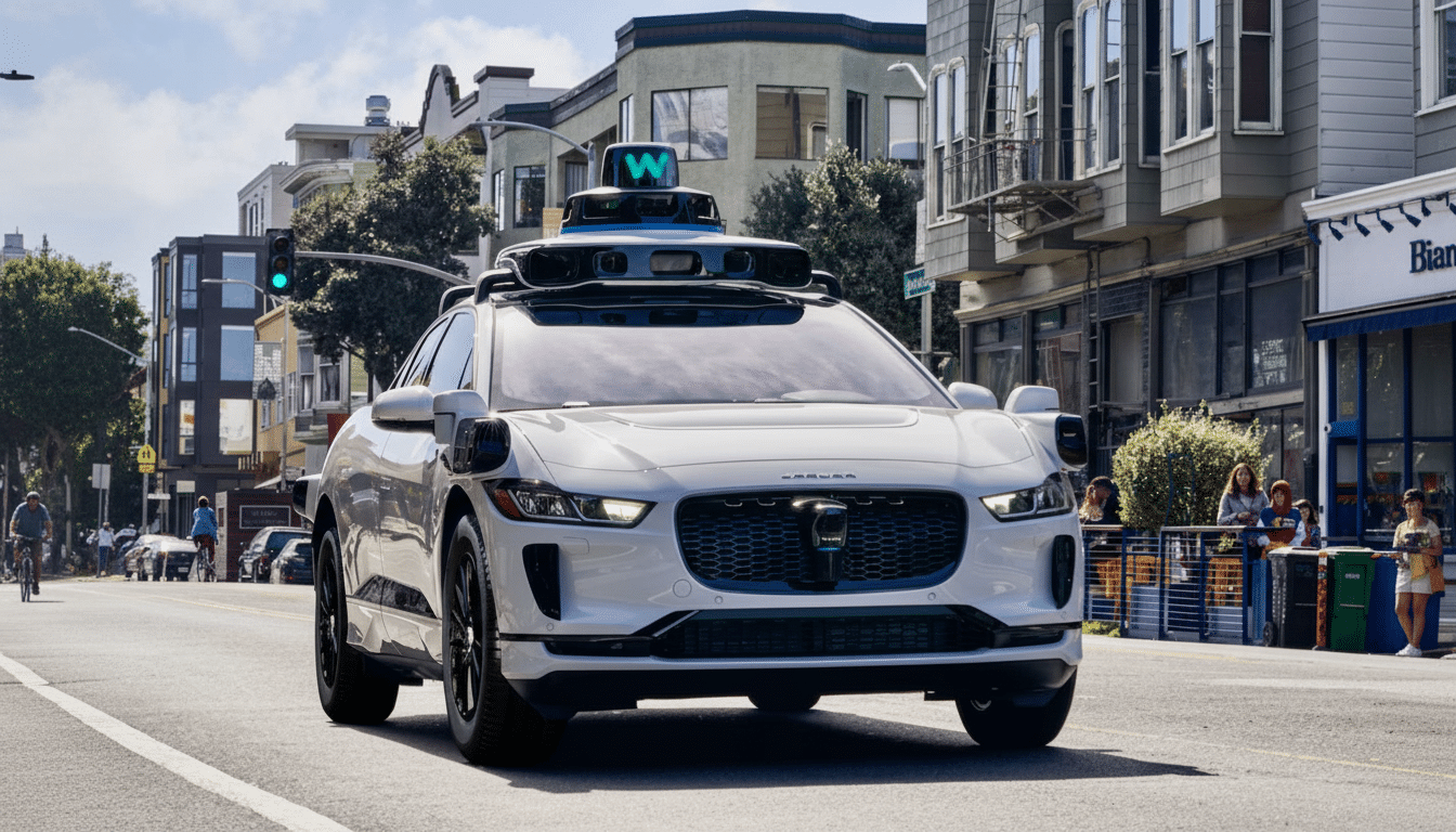
Inside the vehicle, the story is consistent: multi-sensor perception with lidar, cameras, radar and conservative following distances; distinct, signalized lane changes. For drivers, the change is visible in steadier pacing at higher speeds, well-timed merges and early positions on exits — habits that often increase comfort along with travel efficiency.
How Waymo Prepared for High-Speed Driving
Freeway autonomy may sound simpler — no pedestrians, fewer intersections — but it’s harder to master at scale. The events are even more rare, but stakes are higher because kinetic energy grows quickly with speed. That translates into longer detection ranges, earlier intent prediction for fast-merging vehicles and robust handling of rare but critical cases: disabled cars in live lanes, debris, unexpected construction shifts or aggressive cut-ins.
Waymo says it augmented public-road driving with closed-course testing and extensive simulation to expose its system to events that don’t happen frequently in the real world. The company points to smoother transitions between surface streets and on-ramps, beefed-up work-zone logic, better operational protocols (including communicating in real time with safety officials like the California Highway Patrol for emergencies and lane closures).
The focus on validation is part of a wider industry trend: the quantification of rare-event performance. Waymo has released studies of how “rider-only” miles compare to human-driven baselines and, as agencies like the California D.M.V. or the National Highway Traffic Safety Administration hear more pitches, they come with a growing expectation not just for clear methodologies but jurisdiction-specific data beyond mileage counts.
The Safety and Oversight Landscape for Robotaxi Freeways
Robotaxis in California work under a divided framework: The DMV oversees vehicle operation, and the California Public Utilities Commission regulates commercial service. In Arizona, operations on the freeways are guided by collaboration with the Department of Transportation and local law enforcement. Waymo adds that its ramp-up on the freeways comes with revised playbooks for fielding incidents, near-roadway interactions and data sharing, as necessary.
Public trust is still the gating issue. In the wake of high-profile accidents involving autonomous vehicles around the country, cities are seeking clearer communication about detours, special events and emergency scenes. Waymo’s strategy — slow opt-in, incremental region-by-region expansion and coordination with agencies — suggests an attempt to scale without outrunning local comfort.
What This Means for Urban Mobility and Daily Travel
Access to freeways turns robotaxis from novelty into utility. Commutes that once seemed like the edge cases for autonomy — rush-hour runs across town, sudden suburb-to-airport dashes — are newly viable. Early travel-agency data often suggests that trips have to be reliably point-to-point, not just serving city centers, for people to replace private-car use. If Waymo can deliver the promised time savings consistently, the service has a chance of getting more of that slice of people’s daily travel, especially in areas planned around the highway.
The next waypoints seem obvious: adding lanes with HOV and toll corridors where regulations permit, better operation in heavy rain and low visibility and more airports and suburban hubs. For now, freeway riding in Los Angeles, San Francisco and Phoenix is as sensible a move — shorter trips, wider coverage of the metro area and less need for local mapping services for driverless journeys to compete with the private car on its home turf.