

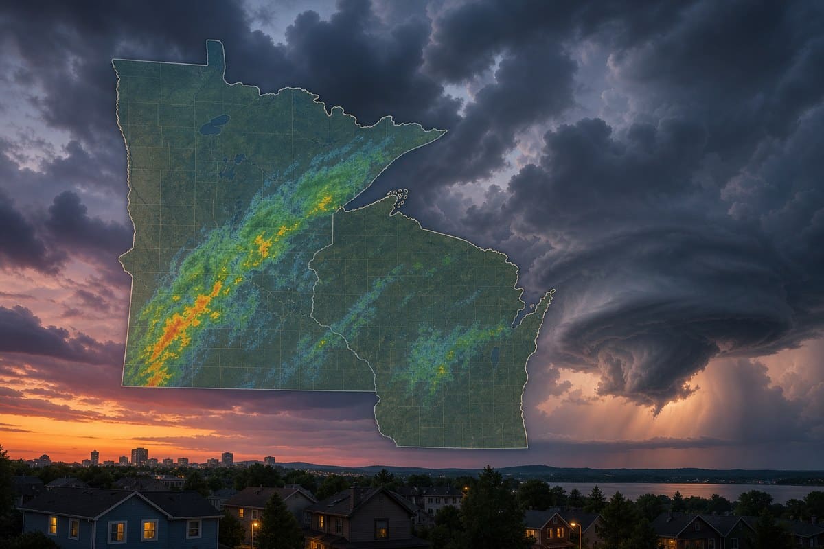
Tornado Watch 698 was in effect Wednesday evening for parts of Minnesota and western Wisconsin until 9 p.m. Central time, as forecasters tracked thunderstorms capable of producing tornadoes, damaging wind and large hail. The alert covered a broad area that included the Twin Cities region and counties farther east in Wisconsin, but it did not mean a tornado had been confirmed.
A watch means atmospheric conditions can support tornado-producing storms over a larger area and for a set period; a tornado warning is issued for a smaller location when a tornado is imminent or detected. By Wednesday evening, none of the available reports documented a tornado touchdown, injuries or damage from Watch 698.
Official notice confirms Wisconsin counties and expiration time
A National Weather Service Twin Cities/Chanhassen notice said at 7:57 p.m. CDT that Tornado Watch 698 remained valid until 9 p.m. The notice specifically named eight northwestern and west-central Wisconsin counties: Barron, Rusk, Chippewa, Dunn, Eau Claire, Pepin, Pierce and St. Croix.
That county list should not be read as the full extent of the watch. The National Weather Service page available for the Twin Cities/Chanhassen office was a Wisconsin county notification, while local Minnesota coverage described the same multistate watch. KNSI reported that the watch included 21 Minnesota counties, including Benton and Sherburne, and said it had been issued shortly before 4 p.m. The official notice independently confirms the watch number and its 9 p.m. expiration, but does not separately enumerate the Minnesota counties.
Forecasts for the Minneapolis-St. Paul area focused on afternoon and early-evening development, while western Wisconsin forecasters expected storms to progress eastward later in the evening. Those are location-specific forecasts, not competing accounts of where the watch applied.
A conditional tornado forecast, not a report of tornadoes
Earlier Wednesday, the National Weather Service office said in its hazardous weather outlook that scattered thunderstorms were expected through early evening. Some storms could become severe, bringing large hail, damaging winds and the possibility of a couple of tornadoes. That language describes potential hazards under favorable conditions; it is not an observation that those hazards occurred.
Forecasters in western Wisconsin stressed that the tornado risk depended on how individual storms developed. WEAU reported that wind shear, a change in wind speed or direction with height, was supportive of rotating storms, but that limited atmospheric instability reduced confidence that storms would become sustained supercells. An isolated storm would have posed the greatest risk for a tornado and large hail.
FOX Weather, citing the NOAA Storm Prediction Center, described the Minneapolis area and portions of western Wisconsin as being under a Level 2 of 5 severe-thunderstorm risk. Its report also said the assessment included concern for tornadoes rated EF-2 or stronger if the most favorable storms formed. That was a risk scenario, not a forecast that an EF-2 tornado would occur.

Wind, hail and heavy rain were part of the threat
Tornadoes were not the only concern. KSTP’s forecast listed possible wind gusts up to 70 mph, hail about 1.5 inches in diameter, lightning and heavy rain, alongside the tornado risk. Such hazards can occur in severe thunderstorms even when no tornado develops, and a watch does not guarantee that every community in its boundaries will receive severe weather.
For people in a watch area, the practical change comes if a warning is issued for their location. KNSI’s coverage advised moving during a tornado warning to a basement or an interior room on the lowest floor, away from windows.
Watch 698 was scheduled to expire at 9 p.m. CDT Wednesday, Oct. 28. Confirmed impacts would require subsequent verified reports.