


The National Hurricane Center has ended all tropical-storm and storm-surge warnings for Isaias after the system weakened into a post-tropical cyclone near central Alabama. But the change in classification is not an all-clear: forecasters said heavy rain, flash flooding, river flooding, tornadoes and hazardous surf could continue to affect parts of the Southeast through the weekend.
In its final public advisory at 4 a.m. CDT on Oct. 10, the center placed Isaias about 25 miles south-southwest of Montgomery, Alabama, with maximum sustained winds near 35 mph. The system was forecast to move through Alabama and toward the Tennessee Valley before dissipating on Oct. 11. The National Hurricane Center transferred subsequent public-advisory responsibility to the Weather Prediction Center.
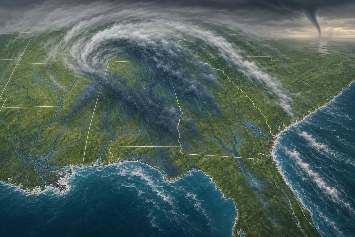
Warnings end, but the weather hazards change
The end of tropical-storm and storm-surge warnings reflects Isaias’s diminished winds and its movement inland, not the disappearance of all dangerous weather. The National Hurricane Center’s final advisory said no coastal watches or warnings remained in effect, while simultaneously identifying flooding as the most serious remaining concern.
Forecasters projected 4 to 8 inches of rain across southern Alabama, the Florida Panhandle and Big Bend, and southwest Georgia through the weekend. Localized totals could reach 15 inches, especially beneath persistent rain bands over the Panhandle and Big Bend. Those are forecast amounts, not final observations, and the placement of the heaviest bands can shift substantially over relatively short distances.
The center said flash, urban and river flooding was possible across the region, with considerable impacts likely across much of southern Alabama, the Florida Panhandle and southwestern Georgia. It also warned that heavy rain could bring considerable flash flooding and landslides in parts of the Southern Appalachians. Tornado potential was expected to persist through the morning and afternoon in portions of the eastern Florida Panhandle, Georgia and the Carolinas, while dangerous surf and rip currents could continue along parts of the Gulf Coast.
What post-tropical means
A post-tropical designation describes a change in a storm’s structure, not necessarily a drop in its ability to cause harm. The National Weather Service definition says a post-tropical cyclone no longer has enough tropical characteristics to be considered a tropical cyclone. Such systems can still produce heavy rain and high winds.
Tropical cyclones draw much of their energy from warm ocean water and have a particular internal structure. As a system moves inland or interacts with cooler air and weather fronts, it can lose those traits. Yet its circulation can continue to pull moisture into rain bands, and its interaction with surrounding weather systems can still support gusty winds, severe thunderstorms and tornadoes.
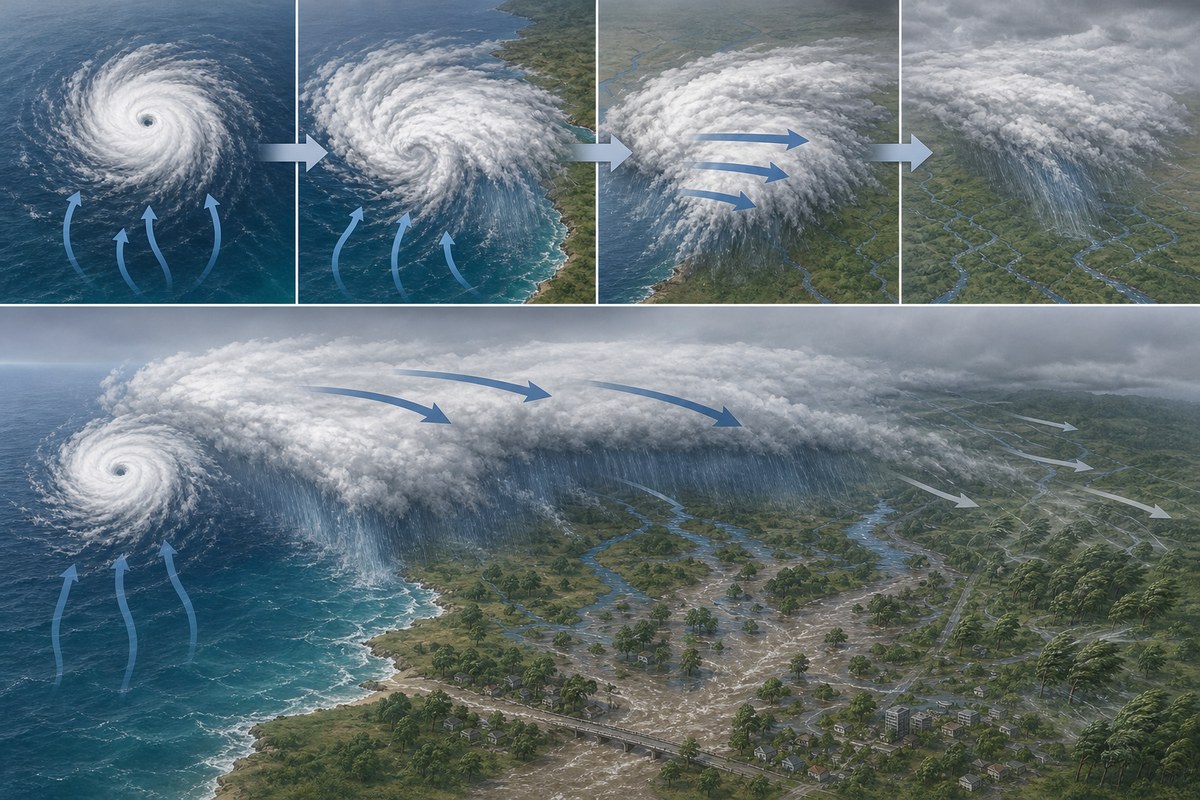
That is why the wind threshold used for a tropical-storm warning does not capture the full risk from a weakening storm. In this case, the official advisory recorded winds near 35 mph, below tropical-storm strength, while retaining a broad forecast for rainfall-driven hazards. The National Hurricane Center’s advisory archive shows the storm had been tracked with regular advisories since Oct. 6 before the Oct. 10 transition.
Damage and outages reported as the system moved inland
Early reports also underscored the difference between a storm’s current classification and the disruption left along its path. ABC News reported that more than 726,000 electricity customers in Alabama and the Florida Panhandle were without power early Oct. 10, citing PowerOutage.com. That figure is a reported outage snapshot rather than an assessment from the National Hurricane Center, and it can change as utilities identify outages and restore service.
The same report described damage in the Florida Panhandle and Alabama and said Isaias had made landfall near Destin, Florida, as a Category 2 hurricane. The official materials available in the National Hurricane Center’s operational archive establish the storm’s later post-tropical status and continuing forecast hazards, but do not independently provide a final determination of landfall intensity, location, total rainfall, damage or casualties.
For residents in the forecast area, the practical risk was shifting from coastal tropical-storm conditions to inland water and severe-weather hazards. Flooding can outlast the period of strongest winds, especially where repeated bands of rain fall over the same communities or where swollen rivers continue rising after rainfall has moved away. The final scale of Isaias’s rainfall, outages and damage will depend on observations and local assessments after the system dissipates.