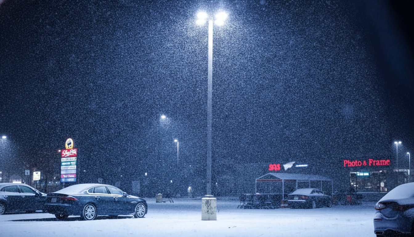
When freezing rain is in play, your default weather app can whipsaw from hefty snow totals to a light glaze, then back again. That volatility is a symptom of automated forecasts leaning on a single model run, not a human who understands local quirks like cold-air damming and shallow subfreezing layers.
For ice storms, nuance matters. Below are expert forecasters and authoritative dashboards that consistently cut through the noise, explain uncertainty, and give you actionable updates as conditions evolve.
Why Popular Weather Apps Often Miss Dangerous Ice Storms
Freezing rain hinges on a delicate temperature sandwich: a warm layer aloft to melt snowflakes and a thin subfreezing layer near the ground to glaze surfaces. A 1–2°F error at the surface or a minor change in the depth of either layer can flip outcomes from cold rain to crippling ice. Automated apps often surface deterministic model output without context, or amplify an outlier run that a human forecaster would immediately downweight.
Professional meteorologists synthesize ensembles, upstream observations, and local climatology to gauge probabilities and impacts. NOAA notes that forecast skill has advanced roughly one day per decade, yet precipitation type near the freezing line remains among the toughest calls. That’s exactly where human judgment pays off.
How To Vet A Forecaster Quickly For Ice Storms
Trust voices that show their work, cite National Weather Service and Weather Prediction Center guidance, discuss confidence levels, and avoid cherry-picking extreme model runs. Look for explainers on wet-bulb temperature, ice accretion thresholds, and power outage risk—not just colorful maps.
15 Reliable Sources To Follow Now For Ice Storm Updates
- Tom Niziol — Former NWS winter chief and longtime winter weather expert whose explainers on ice accretion and tree damage are clear and grounded.
- Jim Cantore — Field-tested perspective on evolving hazards; translates NWS/WPC guidance into real-time risk with a focus on impacts.
- Ginger Zee — National analysis with honest uncertainty ranges and sharp breakdowns of thermal profiles during freezing rain setups.
- Eric Fisher — New England specialist known for dissecting cold-air damming and elevation-driven icing, vital for Northeast corridors.
- Brad Panovich — Charlotte-based meteorologist renowned for precision on CAD events east of the Appalachians and practical prep advice.
- James Spann — Trusted communicator across the Southeast who prioritizes signal over noise during mixed-precip and icing threats.
- Jen Carfagno — Consistent early-morning reads on model trends, timing shifts, and travel hazards as ice storms ramp up.
- Eric Berger — Co-founder of Space City Weather; sober, hype-free guidance when Gulf systems flirt with freezing rain around Houston.
- Matt Lanza — Space City Weather meteorologist delivering granular metro impacts, grid awareness, and timing during rare Texas icing.
- Rick Smith — NWS Norman warning coordination meteorologist; plain-language safety messaging and local nuance for the Southern Plains.
- Kathryn Prociv — Former NWS forecaster and television meteorologist who excels at explaining probability, confidence, and decision timing.
- Judah Cohen — Atmospheric scientist tracking Arctic patterns; reliable medium-range signals that flag elevated icing risk windows.
- Your Local National Weather Service Office — The authoritative source for Ice Storm Warnings, probabilistic freezing rain totals, and impact statements tailored to your county.
- NOAA Weather Prediction Center Winter Weather — Daily national outlooks and probabilities for ≥0.10″ and ≥0.25″ ice accretion, plus synoptic discussions.
- NWS Winter Storm Severity Index — Impact-based maps spotlighting where ice will likely down trees and power lines and make roads treacherous.
What To Watch During An Ice Storm For Safety And Travel
Track surface temperature and wet-bulb temperature near 32°F, the depth of the subfreezing layer, and WPC probabilities for ≥0.25″ ice accretion—a common threshold for tree damage and scattered outages. At ≥0.50″, widespread outages become likely, and travel turns dangerous even at low speeds.
For personal risk, pair forecasts with real-world situational awareness: state 511 road reports, utility outage maps, and local emergency management updates. The Federal Highway Administration attributes more than 1,300 fatalities annually to crashes on snowy, slushy, or icy pavement. The takeaway is simple: follow a trusted human, watch the probabilities, and prepare early.