


Hawaiʻi Gov. Josh Green has declared a statewide emergency to speed preparations for Hurricane Lowell and other tropical cyclones in the Pacific, giving state agencies broader authority to move funding, personnel and equipment before potential impacts. The action comes while Lowell remains well south of the main Hawaiian Islands, with forecasters warning that the storm’s swells could nevertheless bring life-threatening surf and rip currents to many islands.
The September 3 proclamation announced by the governor’s office covers Hurricane Lowell, Hurricane Karina, Tropical Storm Marie and other possible September storms. It is a preparedness measure, not an evacuation order or a finding that a disaster has already occurred. The governor’s office said it does not impose curfews or close schools, businesses or government offices.
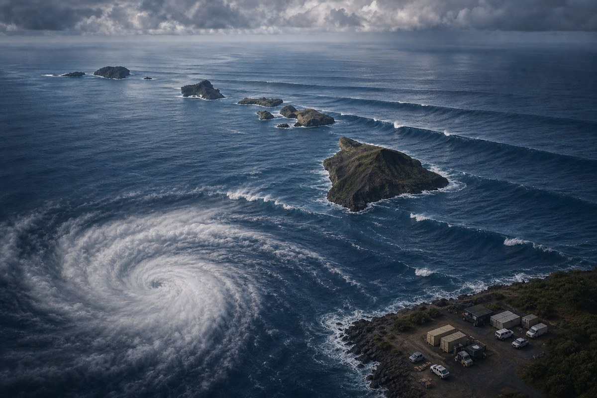
What the emergency proclamation changes
The proclamation authorizes the state to activate Hawaiʻi National Guard units as needed, opens access to the Major Disaster Fund and suspends the usual $10 million ceiling on spending for a single emergency. It also streamlines certain administrative procedures intended to help agencies and counties deploy resources more quickly.
State officials said six high-water vehicles were being sent to Kauaʻi and that National Guard members would be activated ahead of possible storm effects. Such vehicles can be used in flooded or otherwise difficult road conditions, but their pre-positioning does not mean flooding has been forecast for every island or that a direct hurricane strike is expected.
The emergency relief period began when the proclamation was issued and is scheduled to run through Nov. 1 unless it is terminated or replaced. The broad time frame allows the state to respond to more than one system during an active part of the central Pacific hurricane season. It also includes Karina and Marie, rather than applying only to Lowell.
Emergency proclamations are principally a mechanism for government operations: they can remove procedural barriers to purchasing, logistics and coordination while officials prepare for a hazard. They do not independently determine the weather forecast, establish local evacuation zones or require residents to leave their homes. County authorities can issue more specific directions if conditions warrant them.
Lowell remains south, but surf risk is expected
In its 11 p.m. Hawaii Standard Time advisory on Sept. 3, the National Weather Service’s Central Pacific Hurricane Center placed Hurricane Lowell about 555 miles south-southwest of Honolulu. The advisory said the hurricane had maximum sustained winds near 125 mph, making it a Category 3 major hurricane, and was moving west at about 9 mph.
No coastal watches or warnings were in effect at that advisory time. The hurricane center said interests in the Hawaiian Islands should monitor Lowell, while also warning that swells generated by the storm were likely to create life-threatening surf and rip-current conditions across many Hawaiian islands over the following several days.
That distinction is important for public planning. A coastal watch or warning generally addresses the prospect of specified tropical-storm or hurricane conditions in a defined area. Swell, surf and rip-current hazards can extend far from a storm’s center and may affect shorelines even when a hurricane is not forecast to cross the islands. The federal advisory did not quantify wave heights for individual islands or estimate injuries, and local conditions can vary considerably by shoreline, exposure and time of day.
The most immediate expected hazard identified by forecasters was dangerous surf and rip currents, not a documented expectation of direct hurricane-force winds on Oʻahu. People near the coast should follow updated National Weather Service advisories and instructions from county emergency officials, because storm tracks, intensity forecasts and local marine conditions can change as observations and forecast guidance are updated.
Why Lowell’s Category 4 and Category 3 descriptions differ
An earlier City and County of Honolulu update, published Sept. 2, described Lowell as a Category 4 hurricane with maximum sustained winds of 130 mph. It placed the storm about 500 miles south-southeast of Hilo and said the forecast kept its center south of the main Hawaiian Islands. The city said forecasts did not show an immediate direct threat to Oʻahu.
The later Category 3 figure is not necessarily a conflict. It reflects a separate, later observation: the hurricane center’s Sept. 3 advisory reported 125 mph winds and anticipated intensity fluctuations. A change of 5 mph around the Category 4 threshold can alter the category assigned to a storm, while both assessments still described Lowell as a major hurricane.
For residents and emergency managers, the storm category is only one part of the risk picture. Hurricane intensity refers to sustained wind near a storm’s core; it does not by itself specify the timing or severity of surf, rip currents, rain, wind or flooding at a particular community. The governor’s statewide action is designed to preserve options for resource deployment while those local risks are refined.