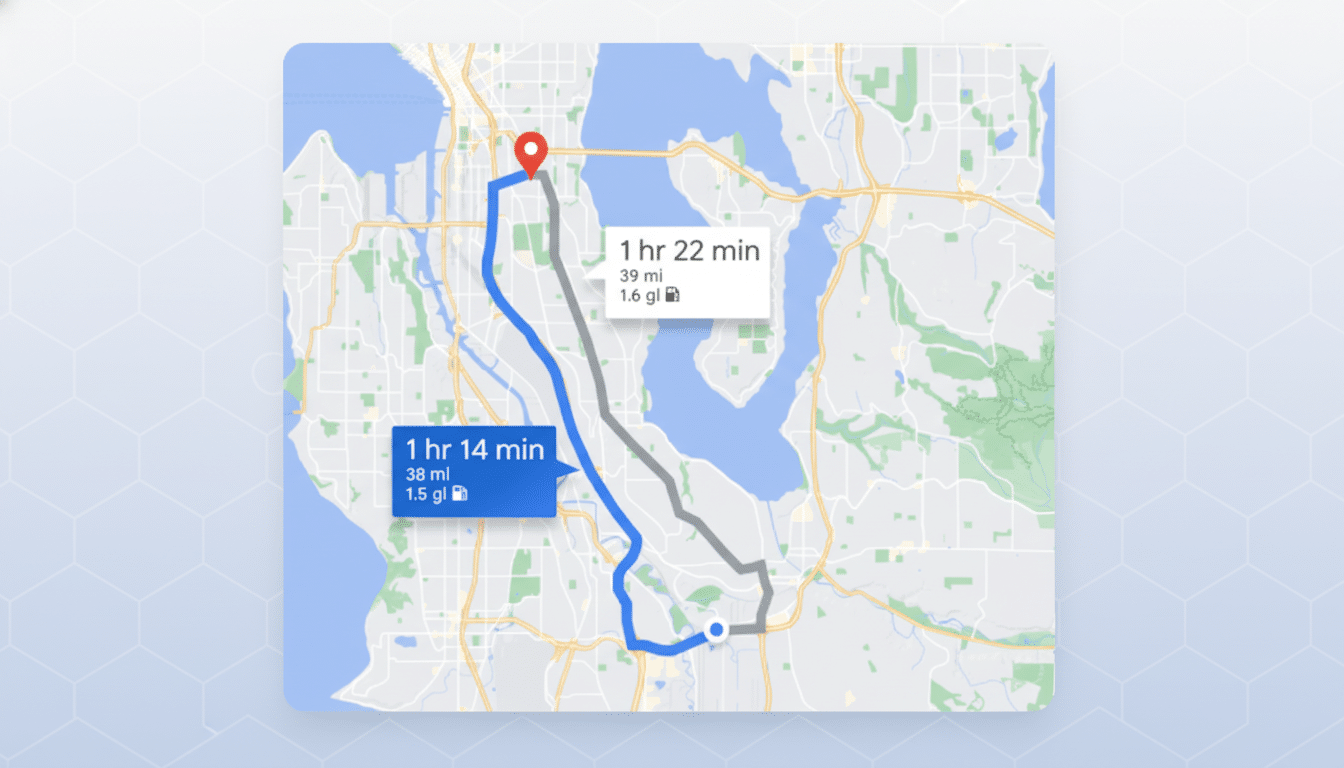
Google Maps has the basics of turn-by-turn down, but its route options seem stuck in a time when avoiding tolls was the big feature. For a product that billions of people use with some regularity, the latest big win doesn’t involve prettier maps or fly-by city tours in 3D; it involves giving drivers more control over how they get from A to B.
Why the Current Navigation Options Aren’t Enough
Maps provides a small set of toggles — avoid tolls, avoid highways, avoid ferries and pick the most fuel-efficient route. Helpful, sure, but these merely skim the surface of the actual trade-offs that occur when driving in real-world conditions. Truck operators want to squeeze the most out of diesel; commuters just want reliability on that trip downtown; families would prefer a safer street network at night, and rural operators wish they could avoid washboard gravel — and everyone towing trailers is more interested in gradients and clearances than the three minutes shaved off an ETA.
The National Highway Traffic Safety Administration’s data show that a, ahem, disproportionate number of fatal crashes happen on rural roads — again highlighting how “shortest” can be far from “safest.” And the weather is to blame: New research from the National Center for Atmospheric Research found that precipitation, especially rain, is associated with a sudden spike in crash risk. A smart router ought to know when a shortcut down an unlit two-lane road in the rain is a bad deal.
What Superior Routing Could Look Like for Drivers
Drivers don’t want dozens of hidden options; they want choices that matter. Begin with a few high-impact options:
- Safer at Night: Choose arterials and intersections with decent safety records that are well lit, and avoid risky maneuvers such as unprotected lefts or complex merges after dark. Insurers and road safety bodies like the Insurance Institute for Highway Safety publish data that can help tell us this without resorting to guesswork.
- Stay Off Unpaved or Poor-Quality Roads: A simple “paved roads only” switch would prevent many drivers from accidentally dirtying their car on a dirt path that they made the mistake of taking. Crowdsourced inputs and vehicle telemetry (which is already used by apps to flag locatable hazards) can keep this data fresh.
- Weather-Aware Profiles: On icy days or during heavy rain and snow, provide a “low-risk” route that reduces steep grades, recurring flooding at underpasses and bridges with known icing. Winter maintenance priority routes and closures are already tracked by state and city transportation feeds.
- Trailer and RV Mode: Know weight limits, low clearances and long-vehicle turn radii. Truck navigation providers and in-dash systems have offered this for years; it’s time mainstream car navigation did, too.
- Fewer Tricky Intersections: UPS famously reduced fuel use and delays by reducing left turns. A toggle to cut down on unprotected lefts or dicey crossings — even if it comes at the cost of a minute — would reduce stress and, in many cases, risk.
- Reliability Over Velocity: A handful of drivers would prefer five minutes on a route that is 90% more reliable. Congestion analytics from INRIX illustrate the frustrations of commuters at just how volatile delays can be. An option for a “most reliable ETA” would make that trade-off explicit.
- Eco-Friendly, Explained: Eco-routing exists in Maps, but users frequently fail to understand the trade-off. Show both the time cost and estimated fuel or battery savings and CO2 avoided. When people can see that the benefit is clear, they’re more likely to choose.
Challenges and Takeaways for Smarter Routing
Some of this exists elsewhere. Waze allows people to shun dirt roads and “difficult intersections” in limited cities. TomTom and Garmin have vehicle profiles that honor trucking limitations. Apple’s EV routing provides charging stops along a planned route based on current vehicle charge and charger types in supported regions. The market has already validated these concepts; what’s been lacking is a complete, mainstream implementation that applies to Maps’ huge audience.
There’s also a civic angle. Cities around the United States, from Los Angeles to small New Jersey suburbs, have fought local cut-through traffic spurred by navigation apps. Offering drivers options like “prefer arterials” decreases spillover onto residential streets by matching driver comfort with urban policy.
Voice Control Can Help, But Buttons Can Matter
And this could be used on the go through natural-language control: “Take me to the airport and stay off dirt roads” should just do. Google’s generative AI might shine here, converting intent into route constraints. But dependability is key; when voice craps out, fast toggles on Android Auto and CarPlay for physical actions match long menu digs every day.
Design and Ethics Matter in Smarter Route Options
This is not about shipping an ocean of switches. It is about smart defaults and understandable presets, which can be enumerated on one hand: Everyday, Storm, Towing, Night. Each should obviously describe trade-offs and be toggleable. And as routing becomes “safer,” developers should protect against algorithmic redlining. Reliance on transparent, roadway-focused safety data — not socioeconomic proxies — helps avoid unintentional bias.
The Bottom Line on Smarter, Safer Routing
Maps already gets you there; smarter route options would make getting there feel better — safer, calmer, more predictable. Armed with tested ideas from industry peers, solid public safety data and a light design touch, Google could turn a well-intentioned navigator into one killer co-pilot. The shortest journey isn’t always the best journey. Give drivers the choice.